
Walk a Wilsonville Street by Parcel
A Wilsonville street search starts with the physical parcel, not a name list. Search WilsonvilleMaps for the street number, choose the matching primary parcel address, and save the tax-lot and county clues. The city crosses Clackamas and Washington Counties, so that map check determines which assessment office and recording counter apply. A postal city name and ZIP do not make that choice. The county tool can then supply property context, while the correct recording office holds the durable instrument trail.
- Enter the street number in WilsonvilleMaps and choose the primary parcel result rather than a unit or suite.
- Record the tax lot, map context, and county before opening a county assessment or recording route.
- For a Clackamas parcel, use AscendWeb or CMap; for a Washington parcel, use InterMap and its Assessment & Taxation path.
- Ask the appropriate county office for owner information when the public map does not display it, then preserve the legal description.
- Use the present acquisition instrument to work backward through grantors, grantees, plats, and prior references.
The method follows land evidence. It can identify parcel relationships and recorded parties, but a mailing contact or deed party is not proof of current residence.
Wilsonville Street Directory Record Paths
Each Wilsonville source answers a different address question. Combining them prevents a parcel record from being mistaken for a household record. Start with the free maps, then use a counter, phone, e-mail, or request form where the research documents a restricted online field.
| Address record | Custodian | Useful result | Access route |
|---|---|---|---|
| Parcel and map context | WilsonvilleMaps, CMap, or InterMap | Primary address, tax lot, jurisdiction, map layers | Free map search |
| Assessment report | Clackamas or Washington Assessment & Taxation | Value, improvements, sales or deed context | Portal plus official county contact |
| Owner information | County Assessment & Taxation | Property-tax owner information | Clackamas e-mail or phone; Washington lobby, phone, or e-mail |
| Recorded instrument or plat | Correct county recording office | Parties, legal description, recording reference | Counter or request; online range must be confirmed |
| Permit or building file | City of Wilsonville | Permit, inspection, certificate, available documents | Map link or City records request |
Tax lots and legal descriptions bridge a current address to the recorder’s language. A site plan, permit applicant, or tax mailing address can be a useful lead, yet none establishes every occupant of a building.
Note: Keep the parcel county with each document citation, because the two county systems do not share one Wilsonville recording route.
Search Wilsonville Streets in AscendWeb
For a Clackamas County-side address, AscendWeb offers an account-number route and a property-address route. The address route requires a street address and accepts broad entries such as a street name, a numbered street address, or a percent sign between the number and street name as a wildcard. City, state, and ZIP fields narrow an address search, but the ZIP field does not choose a jurisdiction. The inspected public landing page does not expose an owner-name search.
| AscendWeb field | Type | Required | Documented use |
|---|---|---|---|
| Account Number / Alternate Account Number | Text | Yes on account route | Eight digits, such as 12345678 |
| Street Address | Text | Yes on address route | Main, 123 Main St, or 123% Main |
| City | Text | No | Optional narrowing field |
| State/Province | Text | No | Optional narrowing field |
| ZIP/Postal Code | Text | No | Optional narrowing field, not a boundary test |
The AscendWeb property search is shown in the captured interface below. Use a matched parcel to gather its account and legal-description clues, then use the county’s official contact channel for an owner-information question that the map does not answer.
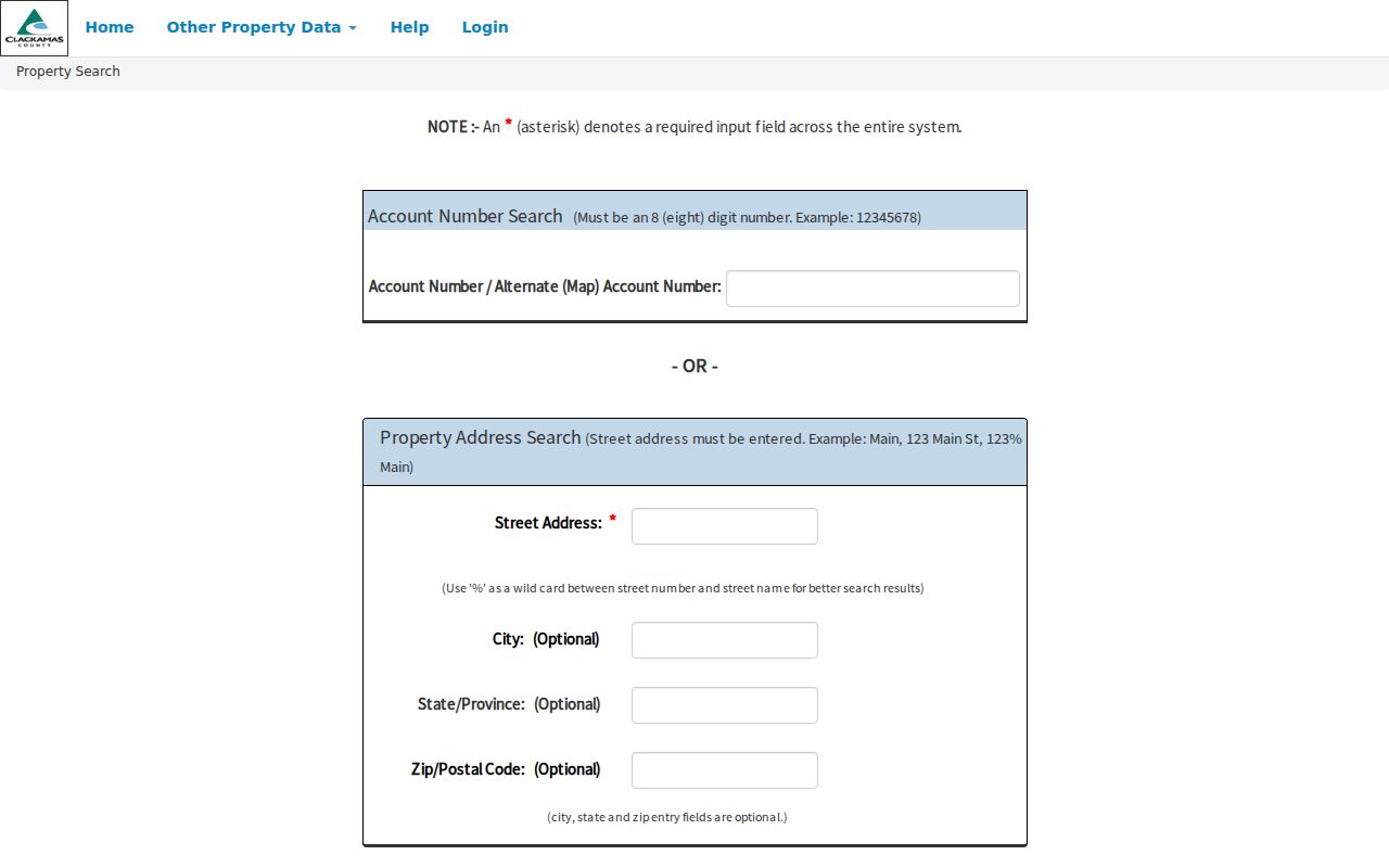
The screen reflects the separate account and street-address routes. It does not turn the property route into an online roster of residents.
Map Wilsonville Streets in CMap
Clackamas CMap is the street-by-street map layer for a Clackamas parcel. It accepts address, city, intersection, tax lot, and parcel-number searches. The map can show building information, last sale, value categories, jurisdiction, voting districts, services, hazards, surveys, and tax maps. Zoom and aerial controls help compare a street segment one parcel at a time. CMap expressly says owner names are not published on the internet, so the official fallback is Assessment & Taxation at propertytaxinfo@clackamas.us or 503-655-8671.
The captured CMap parcel viewer shows the map-first route used to move along a Wilsonville street.
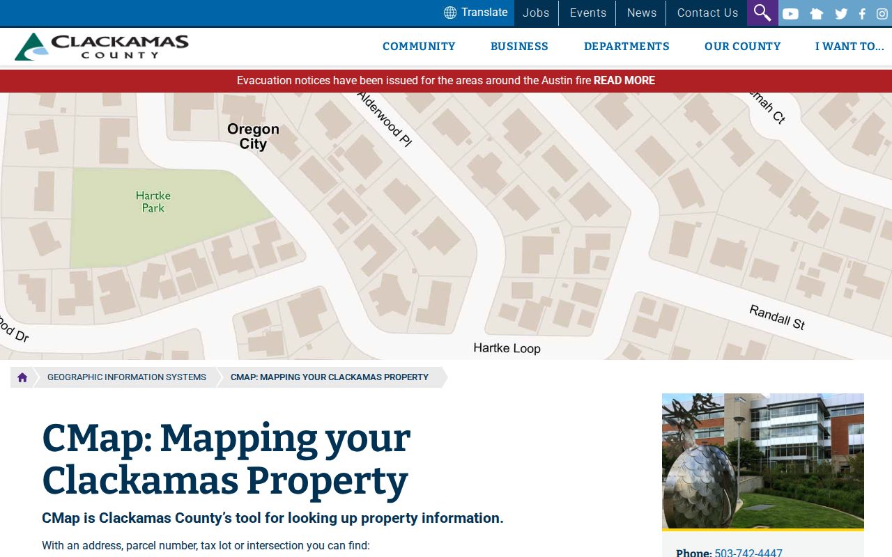
Use the display to compare tax-lot polygons and map context. The County says its boundaries are not survey quality, so a line on the viewer cannot settle a boundary dispute.
Note: A CMap property match supplies context, while owner information follows the County’s documented official channel.
Wilsonville Address Files Since 2015
WilsonvilleMaps adds a city-file route to the street directory. After selecting a parcel, scroll the information pop-up to Building Documents and choose Public Building Documents. Available material may include permit history, inspection records, certificates of occupancy, site plans, and water or sewer material. The City began scanning and digitally retaining residential construction plans in 2015. An older property can still have a permit history even when a plan is not downloadable.
The official map search tips explain a local detail that helps address work: searching the street number alone brings suggested addresses, while the map uses the primary parcel address rather than apartment or suite numbers.
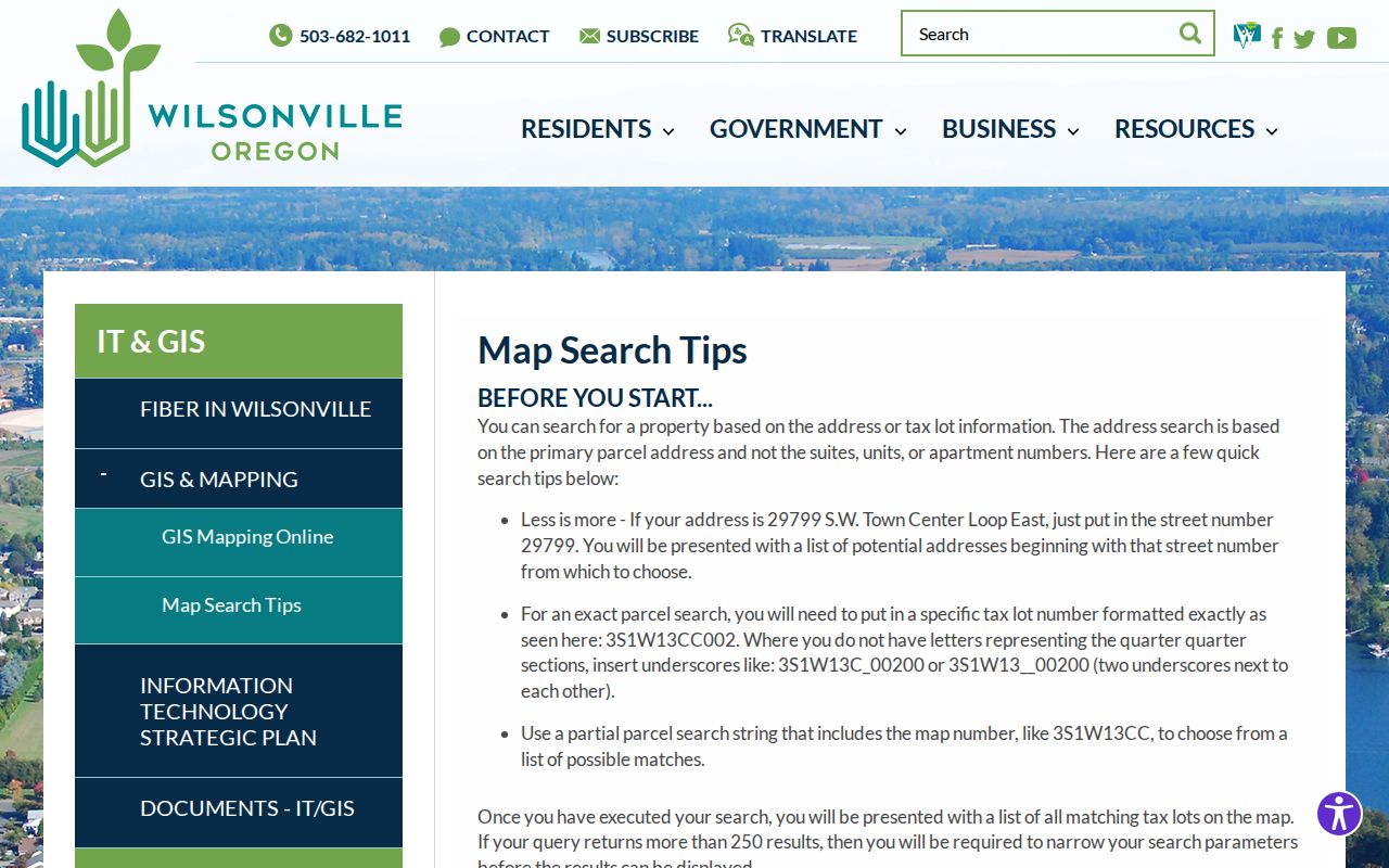
When a document is missing from the map, the City public-records form accepts an address, tax lot, project name, department, record type, and date range. A permit participant is a record role, not a statement of residency.
Trace Wilsonville Street Deed Clues
Once an address produces a tax lot or legal description, take that clue to the correct county recording office. A present acquisition deed can supply the grantor, grantee, recording date, instrument number or book and page, legal description, consideration when shown, and a prior-record reference. Search the earlier party as grantee to locate that person’s acquisition, then repeat. A plat is a recorded map that can preserve the lot and subdivision connection when a street label changes.
The Clackamas County Recording Division records instruments affecting real-property title or interests in land. The research did not verify a public online index cutoff or authenticated search fields, so older instruments, images, and certified copies should be confirmed with the proper counter rather than assumed available online.
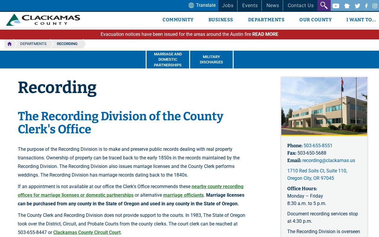
This recording-office landing page is the documented transition from parcel context to title records. For a Washington County-side property, use that county’s Assessment & Taxation and Recording route instead.
Choose the County for a Wilsonville Street
Wilsonville’s county line is the decisive geography in an address-led search. Clackamas uses AscendWeb and CMap, then its Recording Division and Assessment & Taxation contact path. Washington County uses InterMap by address, Tax Lot ID, or R number, followed by Additional Information and Assessment & Taxation Information. Washington says owner names are available through lobby customer-service computers, phone at 503-846-8741, or e-mail at 155 N First Street, Suite 130 in Hillsboro.
A Washington assessment report can include general property, sales or deed, assessed-value, improvement, and improvement-detail groups. Its ownership data are for property-tax purposes. This is why the tax mailing contact and the situs address must remain separate in notes about a Wilsonville street.
- Parcel
- A defined piece of land used in tax and map systems.
- Situs address
- The physical property address used by map and assessment systems.
- Plat
- A recorded map that depicts lots, blocks, or subdivisions.
- Criss-cross directory
- An address-indexed historical directory, if a library confirms a volume exists.
Wilsonville Street Names Through Time
Older street research needs place-name variants as well as the modern address. City history identifies Boones Ferry Landing from 1846, a Boones Ferry post office in 1876, and the Wilsonville name from 1880. The rail and depot period followed in 1906 to 1908, and the commercial center later shifted from Old Town toward Town Center. Search archives under Boone, Boones, Boones Ferry, Boones Landing, Old Town, and Wilsonville where the address trail runs cold.
No official citywide street-renumbering or renaming year was verified. Preserve the historic street expression, tax lot, legal description, and plat reference rather than assigning an unproven conversion date. The Wilsonville city directory collections route is the proper next inquiry for a verified historical address volume.
Note: A changed place label is a search variant, not proof that a modern parcel and older reference describe the same land.
Refine a Wilsonville Street Directory Search
Some address failures are format failures. WilsonvilleMaps recommends entering the street number alone to receive a normal set of address suggestions. The map matches the primary parcel address, so a suite, unit, or apartment number will not act like the parcel key. For an exact tax-lot route, the City gives a form such as 3S1W13CC002. When quarter-quarter letters are absent, underscores replace them, as in 3S1W13C_00200 or 3S1W13__00200. A partial map number returns candidate tax lots.
Broad searches can also exceed the City map’s 250-result ceiling. Narrow the number, street expression, or tax-lot string instead of treating an empty or broad result as proof that the property has no public record. The City map remains a GIS front end, not a definitive title index. Follow its parcel clue to the appropriate county office, and confirm a disputed zone or boundary with Planning rather than relying on a general map representation.
These local syntax rules are practical street-address evidence because they explain why a normal-looking address can require a map-number search. They do not add a person-level record to the result.
Limits of a Wilsonville Street Directory
Address records establish land, transaction parties, and city-file activity more often than they establish occupants. Renters, other household members, utility customers, delivery data, and DMV address data are not outputs of these property tools. Oregon My Vote is a voter’s self-service portal, not a public browse-by-street roster. A voter-list request follows Secretary of State or affected-county procedures and excludes protected information.
Oregon’s Safe at Home program can protect an eligible participant’s address, and a public-record custodian may have separate exemptions or redaction duties. When the official record does not release a field, use the custodian’s request and correction process or accept that boundary.