
Verified Wilsonville ZIP Code Coverage
Authoritative City contact material verifies 97070 as the general geographic ZIP for Wilsonville mailing addresses. The research did not verify an additional ZIP, a unique-institution code, a PO-box-only code, a realignment date, or a complete postal-boundary data set. The careful result is a short coverage table, not a guessed list. Confirm every delivery address through USPS because a city-name search alone is not an address-level decision.
| ZIP | Areas covered | Post office | Record-search note |
|---|---|---|---|
| 97070 | Wilsonville mailing addresses verified in City contact pages, including City Hall | USPS service area associated with Wilsonville; station name not verified | Not the City boundary or county boundary. Confirm the full address with USPS. |
| Additional, PO Box, or unique ZIP | Not located in authoritative source material | Not located | Do not publish a second code without USPS address-level confirmation. |
The postal result is therefore precise about what has been verified. It gives the reader a delivery starting point without treating a ZIP as a census boundary, neighborhood line, or property-record jurisdiction.
Check a Wilsonville ZIP Code With USPS
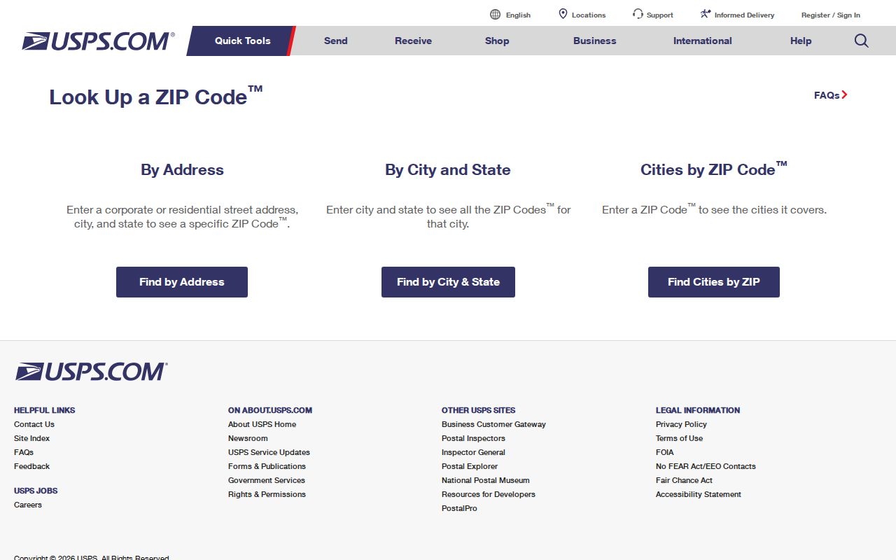
The official USPS ZIP Code Lookup is the final standardization step. Enter the complete delivery address and use the returned standardized address and ZIP. This avoids treating a city name as sufficient proof of a postal assignment. USPS verification is especially useful when a map result, tax correspondence address, or older document uses a slightly different street expression.
The captured USPS lookup interface is the documented address-level verifier for the Wilsonville ZIP code directory.
A correct postal match confirms mail routing only. It does not identify the county assessor, recorder, court, or elections office.
Note: Save the standardized address with the source date when comparing it to an older parcel or recording reference.
Wilsonville ZIPs Do Not Choose Counties
Wilsonville spans Clackamas and Washington Counties. The parcel county, not 97070, selects the recorder, assessor, elections, and court path. WilsonvilleMaps has County Boundary, City Limits, and Urban Growth Boundary layers that help locate the governing geography. A uniform postal address can therefore lead to one of two county systems. Establish the parcel first, then direct a request to the Clackamas route or the Washington County route.
The city newsletter’s reach to every 97070 address and outlying communities is another practical reminder that postal delivery is broader than municipal limits. Census ZIP approximations also are not delivery boundaries. Postal geography is useful, but it cannot replace the tax-lot and county check.
Filter a Wilsonville ZIP Code in AscendWeb
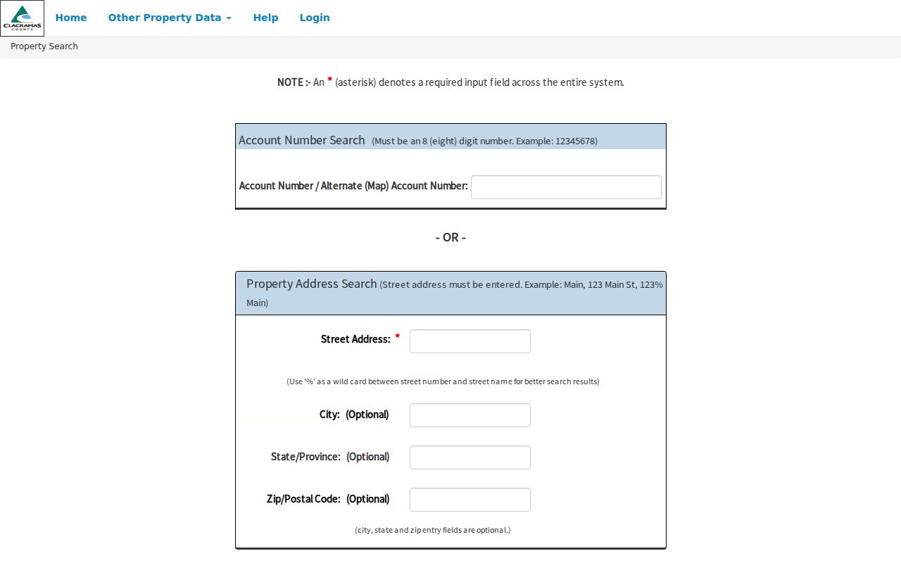
On the Clackamas County side, AscendWeb documents ZIP/Postal Code as an optional field within a required street-address search. It is a narrowing tool, not a ZIP-wide resident report and not a current owner-name search. The required street address keeps the search tied to a specific property. Use the full postal result with the street field when an address is ambiguous.
| Property-search field | Type | Required | Wilsonville use |
|---|---|---|---|
| Street Address | Text | Yes on address route | Required address search; accepts a street name, numbered address, or percent wildcard form. |
| City | Text | No | Optional narrowing field. |
| State/Province | Text | No | Optional narrowing field. |
| ZIP/Postal Code | Text | No | Optional filter; does not establish City or county jurisdiction. |
| Account Number | Text | Yes on account route | Eight-digit alternate route when known. |
The AscendWeb property screen shows the field arrangement captured for the Wilsonville ZIP code directory.
After a property match, retain the parcel account and legal-description clues. They are stronger routing facts than the ZIP alone.
Use Wilsonville Parcel Keys Beyond ZIPs
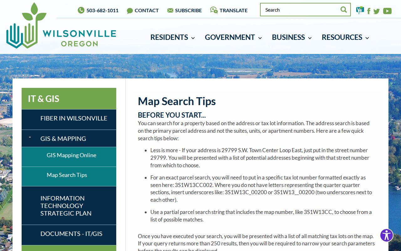
WilsonvilleMaps searches the primary parcel address, not an apartment, suite, or unit number. Its map syntax supplies a better way to resolve some address ambiguity: an exact tax lot can use a form such as 3S1W13CC002, and underscores stand in for missing quarter-quarter characters. A partial map number can return candidate lots, while searches with more than 250 results need narrowing. Washington County InterMap accepts address, Tax Lot ID, or R number.
The City’s map search tips document the local address and tax-lot formats used before a county record search.
These identifiers keep an address search tied to a parcel when postal shorthand or a historic street form is unclear.
- Postal code
- A delivery code used to route mail.
- ZIP+4
- An added postal segment that further identifies a delivery range or location.
- PO Box ZIP
- A code used for post-office boxes, which has not been verified for Wilsonville in the research.
- Unique ZIP
- A code assigned to one organization or place, also not verified here.
- Carrier route
- A postal delivery sequence, not a government jurisdiction or resident list.
Find a Wilsonville Address Within a ZIP Code
Use the ZIP as a careful address filter, then switch to parcel evidence. The documented tools do not provide a ZIP-wide list of people. AscendWeb narrows a street-address search with ZIP, and USPS standardizes a delivery address. City and county maps then establish tax-lot and county context. That sequence respects the difference between mail routing and official property records.
- Enter the complete address in the USPS postal lookup and record the standardized result.
- For a Clackamas address, enter the street address in AscendWeb and use ZIP/Postal Code only as an optional filter.
- Open WilsonvilleMaps, CMap, or InterMap to identify the parcel, tax lot, and county.
- Use the selected county’s assessment or recording channel for the property question at hand.
- When the task becomes a street-level record trail, use the Wilsonville street directory method rather than expanding a ZIP into a list of people.
Oregon My Vote is a voter’s self-service portal, not a ZIP browse tool. A public voter-list request follows the Secretary of State or affected-county process and has its own disclosure limits.
Read Wilsonville ZIP Map Context
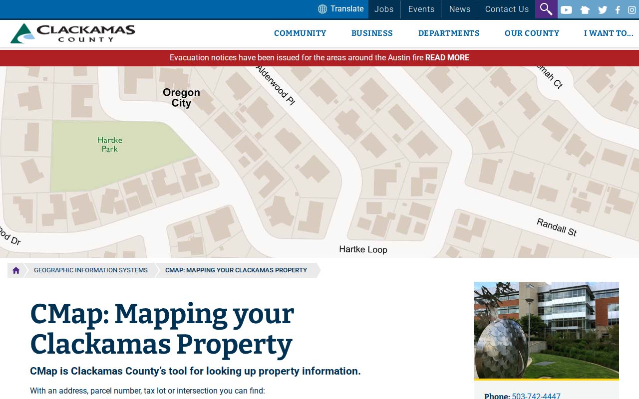
For a Clackamas parcel, CMap accepts address, city, intersection, tax lot, and parcel-number searches. It can display building and value context, jurisdiction, voting districts, services, hazards, surveys, and tax maps. Its aerial and zoom controls help compare the physical setting after an address has been standardized. CMap does not publish property owner names online, and its displayed boundaries are not survey quality.
The captured CMap viewer is a map context tool, not a postal-boundary map or address directory of residents.
Use the map to confirm the parcel’s county and tax-lot setting before asking a county office for records.
Note: A visible property line on CMap is convenient map context and does not replace a survey.
Wilsonville ZIP Neighborhood Context
Old Town, Town Center, Villebois, Charbonneau, Coffee Creek, Frog Pond, Rivergreen, and Foxchase are useful Wilsonville place labels for map, planning, permit, obituary, and archive searches. They can refine a question after an address is known. They should not be treated as postal zones. City planning records list these areas and their plans, but those plans neither redraw ZIP geography nor identify an address’s county.
Town Center’s plan was adopted in 2019, while the City also lists planning materials for Frog Pond, Coffee Creek, Villebois, Charbonneau, and Old Town. That local context can help date development language in a property file, but USPS remains the source for delivery ZIP verification.
Wilsonville ZIP and Record Keys
A postal code, a situs address, a tax mailing address, and a legal description serve different purposes. The situs is the physical parcel location used by map and assessment systems. A mailing address is correspondence information that can appear with a tax account or recorded party, and it is not evidence that the recipient occupies the situs. A legal description uses a lot, block, tax lot, plat, or another land expression to connect documents to the same land across changing street labels.
This distinction becomes useful when a property record uses a tax contact in another city, a deed uses a subdivision description, or an older document has a historic street form. Keep the postal ZIP for mail verification, then retain the tax lot and legal description for the county recording path. That practice avoids converting a postal clue into an unsupported statement about the parcel or the people connected with it.
Note: A standardized postal address helps delivery research, while a legal description keeps the land trail stable across document systems.
Wilsonville ZIP Verification Limits
The verified source base supports one general Wilsonville ZIP, 97070. It does not support a complete list of any additional delivery, PO Box, or unique ZIP codes, nor a realignment history or ZIP population statistics. Leaving those facts unclaimed is more useful than publishing a broad but unreliable coverage table. Ask USPS about a full address and use the City or county map for a parcel question.
City limits, county boundaries, tax maps, recorded legal descriptions, and delivery areas each answer different questions. Keep them separate in a Wilsonville postal lookup, especially when the record request depends on the county that holds the underlying file.